Grand Plaza Mall
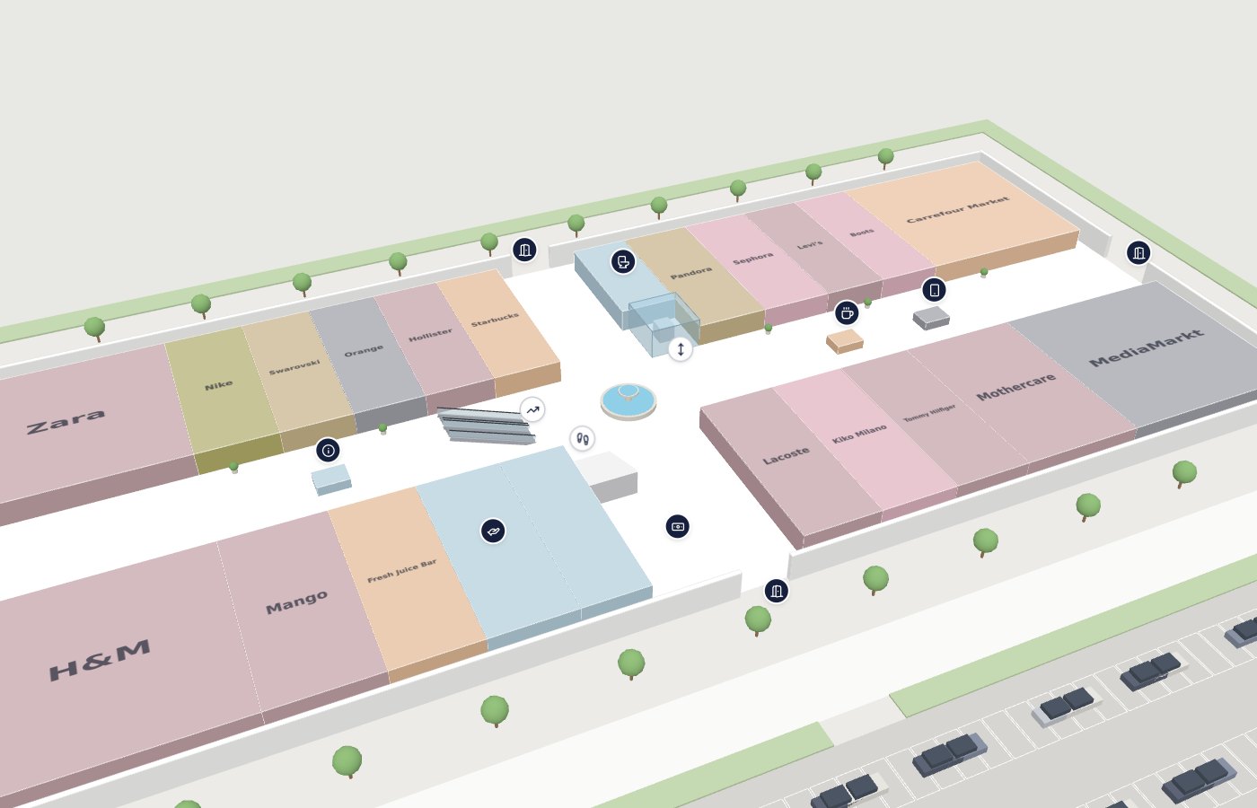
Four floors with a food court, cinema, atrium escalators, 3D parking and 100+ stores. Try a route from the car park to a shop on the first floor.
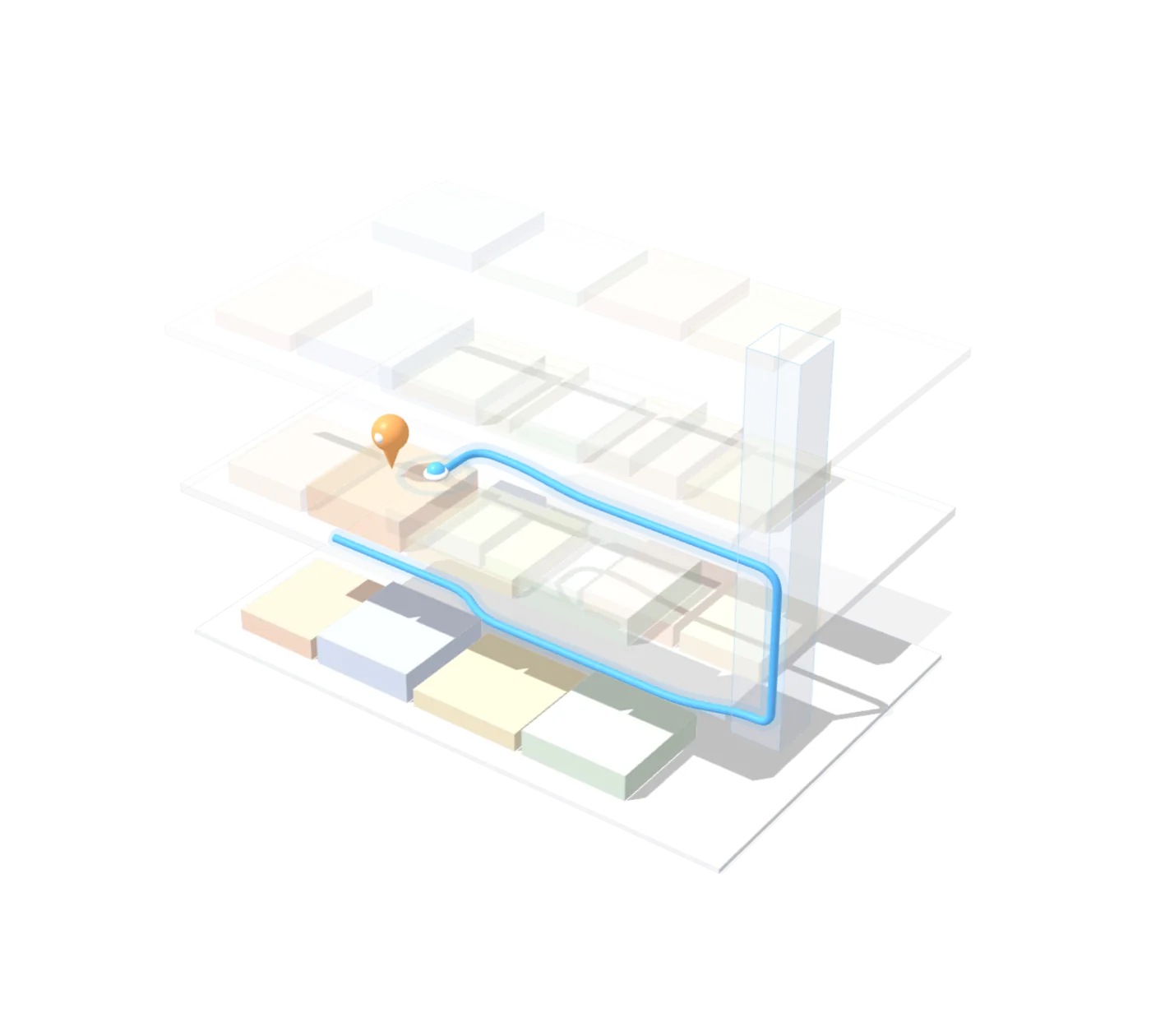
MakeMyAtlas turns your floor plans into a 3D map that walks visitors to any shop, gate or ward — by lift, escalator or stairs. Share it as a link, a QR sign or an embed.
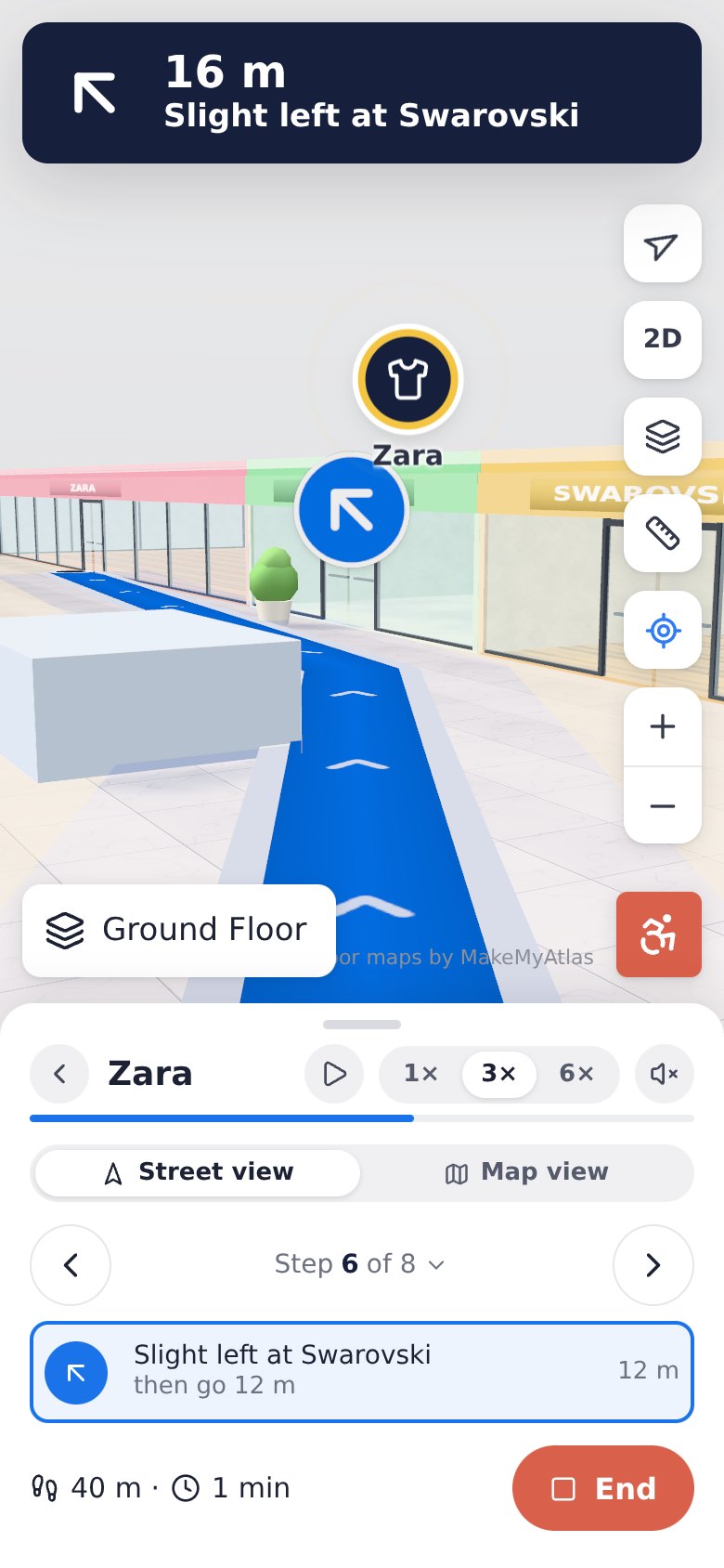
Visitors search a shop, gate or ward and get short, clear steps — “Continue straight past Nike”, “Slight right at Customer Service”, “Take the lift to Level 2”. The view moves with them at street level, every turn is marked on the map, and the route rides the real lifts and escalators between floors.
You don’t install any hardware. Positioning comes from printed QR signs and the phone’s own sensors, and the map runs in any browser.
The same clear experience on phones, desktops and kiosks — built from your own floor plans.
Small turns get their own step — “Slight left at Swarovski” — so visitors move in short, confident hops, never one vague jump.
Street view follows the route at eye level, with a sign at every turn and the path drawn on the floor ahead.
Accessible routing avoids stairs and escalators — essential for hospitals, airports and public buildings.
Search a shop, tap “Get Directions”, switch floors, then press Simulate to watch the turn-by-turn guidance.
Four floors with a food court, cinema, atrium escalators, 3D parking and 100+ stores. Try a route from the car park to a shop on the first floor.
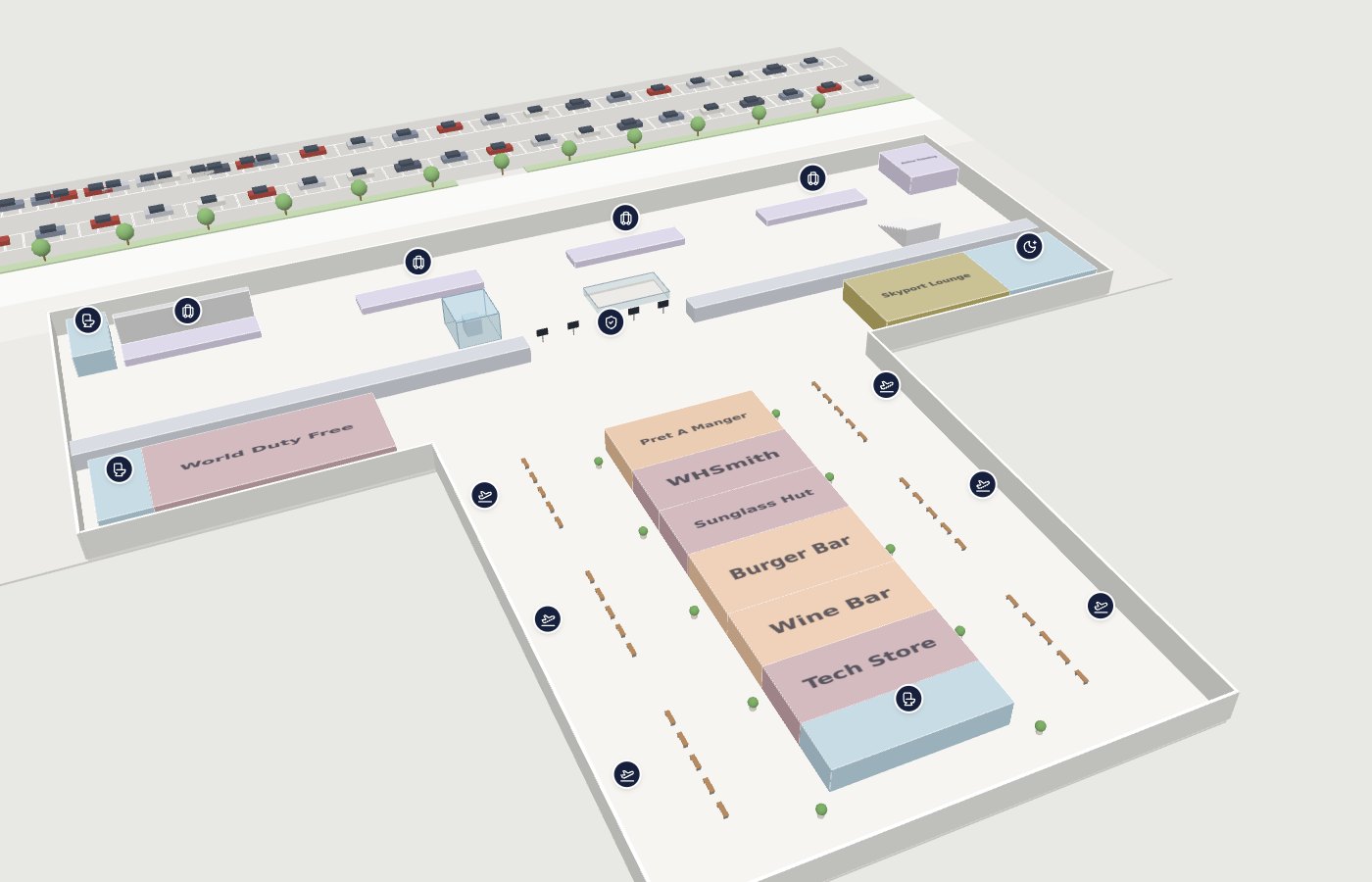
Check-in, security, a gate pier with duty free and lounges, baggage reclaim and kerbside transport. Find your gate from the drop-off doors.
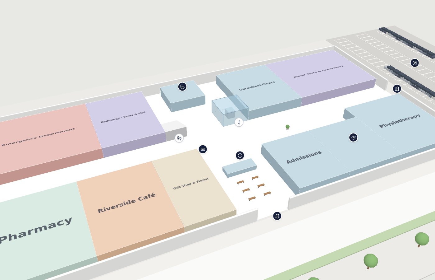
Emergency, radiology, wards and maternity across three levels, with step-free routes via the visitor lifts. Turn on accessible routing and compare.
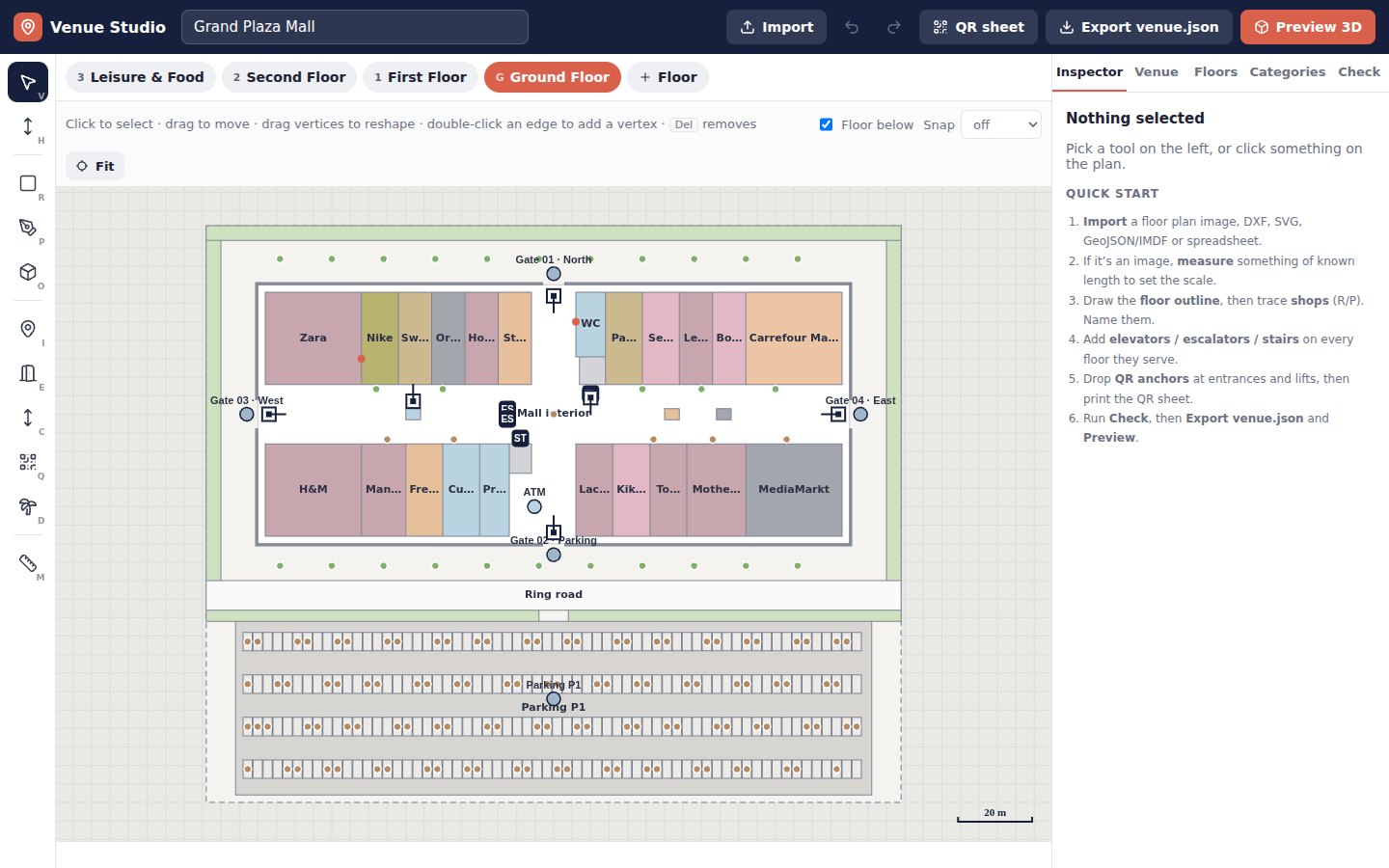
The tool we build maps with. Open the sample mall, drop in a DXF, SVG, GeoJSON, IMDF, image or spreadsheet and preview it in 3D — or style the map from photos of your own interior.
You send what you have. We handle the rest.
CAD (DXF/DWG), IMDF, GeoJSON, SVG or a PDF of the plan, plus your store or department list.
Shops, corridors, lifts, escalators and amenities are mapped in the Venue Studio, and every route is tested automatically.
A print-ready sheet of “You are here” codes for entrances, lift lobbies and key junctions.
A link on your own domain, QR codes, kiosk screens, and an embed for your website or app.
Beacons cost money to buy, install, power and replace. MakeMyAtlas uses what every visitor already carries.
Printed codes at entrances, lifts and junctions open the map with the blue dot exactly on the sign.
Visitors pick their starting point on the map, or choose a nearby shop as the origin.
The phone’s step counter and compass move the dot along the route, snap it to corridors, re-route after a wrong turn and confirm floor changes at lifts.
Link straight to a store, a route or a floor — from your website, your app, a kiosk, a booking confirmation or an appointment letter.
<!-- Embed on your website -->
<iframe src="https://makemyatlas.com/map/grand-plaza?wl=true"
  width="100%" height="640"></iframe>

<!-- Route from the car park, step-free -->
/map/grand-plaza?from=P-parking&to=S301&accessible=1

<!-- Printed QR sign: "you are here" -->
/map/grand-plaza?at=Q-gate-n
No. Visitors set their position by scanning a “You are here” QR sign (or tapping the map), and “Walk with me” mode follows them using the phone’s own step counter and compass. There is no hardware to buy, power or maintain.
A QR scan puts the visitor exactly on the sign. While walking, step tracking is snapped to the route and corridors; it can drift over long distances, so we place QR signs at entrances, lifts and key junctions to re-anchor.
Whatever you already have: CAD drawings (DXF/DWG), IMDF, GeoJSON, SVG or PDF/PNG floor plans, plus a store or department list in a spreadsheet.
No. The map runs in any modern mobile or desktop browser. You can also embed it in your website or existing app with an iframe or deep links.
Yes. The Venue Studio lets your team edit names, categories, hours and positions, check that every place is reachable, and press Update live map — visitors see the change within a minute.
No. Press Publish in the Venue Studio and your map is live at makemyatlas.com/map/your-venue, with printable QR signs that work straight away. You can also embed it in your own website, or host the files yourself.
For a typical mall floor with clean drawings, a first version is usually ready in days, not months — most of the time goes into checking names and categories with your team.
Send us a floor plan and we’ll show you a working 3D map of your venue. No commitment.